Collection:
Juneau—Douglas City Museum
Object ID:
86.11.010 A—C
Accession#:
86.11
Credit Line:
Donated by Caroline Jensen.
Object Name:
Map
Title:
Peterson Claim/Plat Maps
Date:
1910
Description:
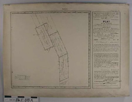
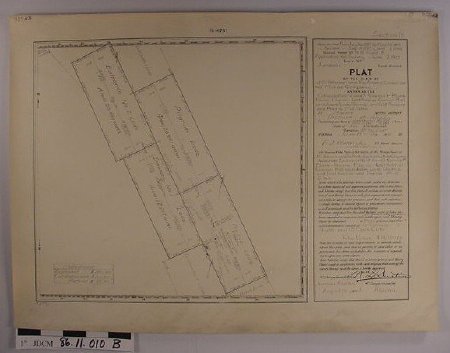
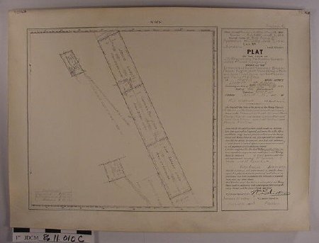
Plat maps of J.G Peterson's mining claims in Prairie Basin on Peterson Creek. Surveyed June 15—29, 1910, by F.J. Wettrick, U.S. Mineral Surveyor. On heavy off—white paper.
a — Section A shows You & I, Blank, and Entrance No. 3 lodes on south.
b — Section B shows Entrance No. 1 and 2, Prairie and Pilgrim Lodes in middle.
c — Section C shows Lost Soldier, Cannon Ball, and Jessie Lodes and Prairie and Lost Soldier Mill Sites on north.
Inscription: "Plat of Claim of J.G. Peterson and the Alaska Consolidated Mines Co."
Notes:
See 86.11.01
Search Terms:
Peterson
Management
Prospecting
Government
Federal
Mining
Management
Prospecting
Government
Federal
Mining


