Collection:
Juneau—Douglas City Museum
Object ID:
2003.11.001
Accession#:
2003.11
Credit Line:
Donated by Vernice Kirchhofer.
Object Name:
Map
Title:
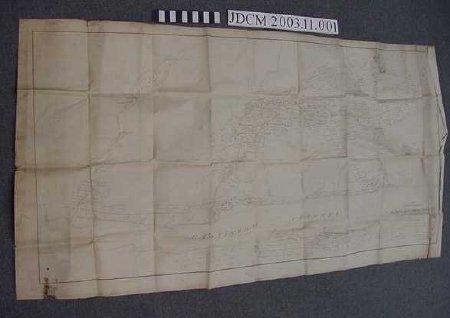
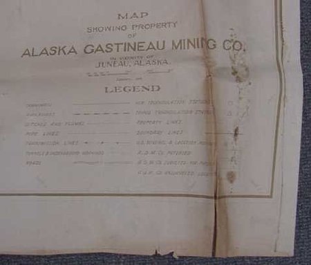
Large 1916 Map with property of Alaska Gastineau Mining Co.
Creator:
AGMC
Date:
1/1/1916
Scope & Content:
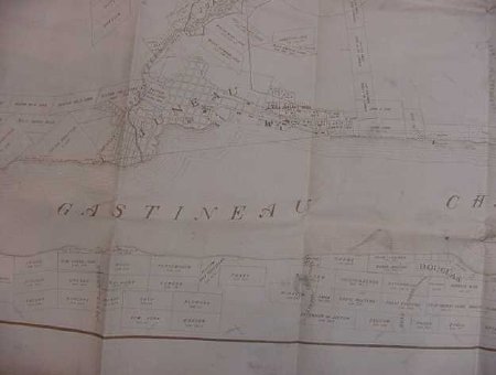
Large cream — colored map printed in brown. Legend at lower proper right: "Map showing property of Alaska Gastineau Mining Co. January 1916 with a key to tramways, railroad, ditches, flumes, pipe lines, transmission lines, tunnels, roads, triangulation stations and boundary lines. Gastineau Channel and property of Douglas shoreline run across the bottom. Salmon Creek and the reservoir are shown. Former properties of Treadwell, Jualpa, Ebner, AJ Alaska consolidated, Alaska goldbelt etc are shown. Rectangles with lode names cover the map "Alaska Juneau Gold M. C. in black on reverse, Around Juneau in pencil.
Material: Paper/Ink/Tape/Pencil
Material: Paper/Ink/Tape/Pencil
Dates of Creation:
1/1/1916 0:00:00
Notes:
Similar to a smaller later map in the collection 85.32.001 done in 1935. Donors father in law Edwin Jones Kirchhofer of Swiss ancestry lived in Juneau since he was 16 and worked for Governor Bone, early 1020's. Also worked fo the water works company. This map belonged to him.
Search Terms:
Map
Mining
AJ
Ebner
AG
Treadwell
Management
Mining
AJ
Ebner
AG
Treadwell
Management


