Collection:
Juneau—Douglas City Museum
Object ID:
2002.11.129
Accession#:
2002.11
Credit Line:
Donated by Mary Ann Parke.
Object Name:
Map
Title:
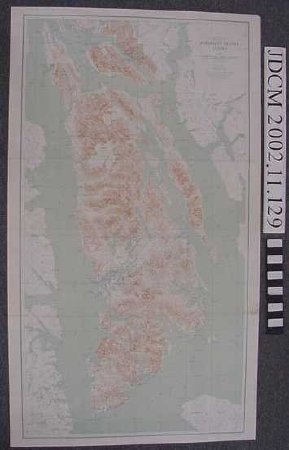
1940 U.S. Geological Survey Map 10 "ADMIRALTY ISLAND ALASKA"
Date:
1940
Scope & Content:
1940 United States Geological Survey topographic map of Admiralty Island Alaska. Scale 1:125,000. Sage, brown, and blue print. Alaska Map 10, Edition 1940. Contour interval 200 feet.
Notes:
Used by Thomas S. Vera L. Parke during 1940's—1950's. Folds are from storage in the chart drawers on the BARBARA V and later the TILLER TRAMP — the boats used for both family recreation and business.
Both sides cleaned with GONZO vulcanized rubber soot sponge.
Both sides cleaned with GONZO vulcanized rubber soot sponge.
Search Terms:
communication
education
recreation
transportation
boat
maritime
education
recreation
transportation
boat
maritime
