Collection:
Juneau—Douglas City Museum
Object ID:
97.30.003
Accession#:
97.30
Credit Line:
Donated by Rich Poor.
Object Name:
Map
Title:
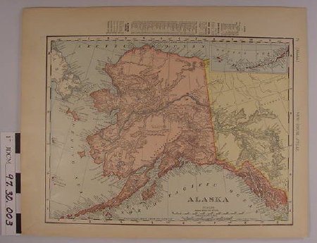
"Alaska" Map, c. 1900
Creator:
Rand, McNally & Co? / New Ideal Atlas?
Date:
1900
Scope & Content:
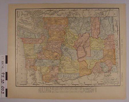
Map of Alaska. Alaska is colored with pink pigment, Canadian territory colored yellow. Water colored blue. Asia white. 3.875 inch by 1.5 inch insert of Aleutian Islands in upper right corner. Map proper is 8.625 inches by 11.625 inches, bordered by longitude and latitude. Demographies printed vertically in upper border. Right border has "76" "(ALASKA)" & "NEW IDEAL ATLAS". "ALASKA" printed below "NORTH PACIFIC OCEAN". Below "scales" in small print is "RAND, MCNALLY & CO.'S NEW 11 X 14 MAP OF ALASKA, COPYRIGHT 1895", by "RAND, MCNALLY CO. COPYRIGHT 1906". Reverse of map is Washington state.
Material: Paper/Ink/Dye
Material: Paper/Ink/Dye
Dates of Creation:
1/1/1900 0:00:00
Notes:
Demographics from 1900 census.
Search Terms:
Map
Exploration
Exploration

