Collection:
Juneau—Douglas City Museum
Object ID:
2004.55.046
Accession#:
2004.55
Credit Line:
Donated by Mary Ann Parke.
Object Name:
Map
Title:
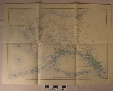
1941 USGS map of Alaska w/Tongass
Date:
01/01/1941
Scope & Content:
1941 United States Geological Survey map of Alaska on off—white paper; black—and—white with water lines printed in blue and Tongass National Forest indicated in green. Insert of Aleutian Islands in lower proper left quadrant. Conversion scales in upper proper right corner (1" = approx. 80 miles). Railroads and major roads indicated on map. "ALASKA MAP A / EDITION OF 1941" printed in lower proper left corner.
Paper, ink
Paper, ink
Dates of Creation:
01/01/1941
People:
Parke, Mary Ann
Parke, Thomas S.
Parke, Thomas S.
Parke, Thomas S.
Parke, Thomas S.
Search Terms:
USGS
Map
Map
