Collection:
Juneau—Douglas City Museum
Object ID:
2003.05.003
Accession#:
2003.05
Credit Line:
Donated by Mary Ann Parke.
Object Name:
Chart, Navigation
Title:
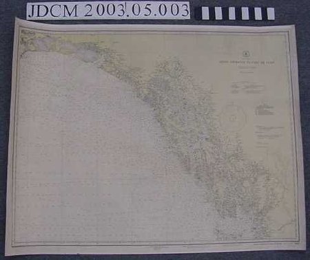
U.S.C. & G.S. Navigation Chart 8002 Dixon Entrance to Cape St. Elias
Creator:
U.S. Department of Commerce, Coast and Geodetic Survey
Date:
1940
Scope & Content:
U.S. Coast and Geodetic Survey marine navigation chart 8002 "Alaska / Dixon Entrance to Cape St. Elias". Heavy white chart paper with yellow land differentiation. Black and magenta print. Published 1936. Revised May 1938. This edition 1/16/1943.
Material: Paper/Ink
Material: Paper/Ink
Dates of Creation:
1/1/1940
Notes:
See 2003.05.001
Search Terms:
Map
Fisheries
Recreation
Fishing
Transportation
Maritime
Boat
Communication
Fisheries
Recreation
Fishing
Transportation
Maritime
Boat
Communication
