Collection:
JDCM Reference
Accession#:
REF
Object ID:
2076
Object Name:
Map
Title:
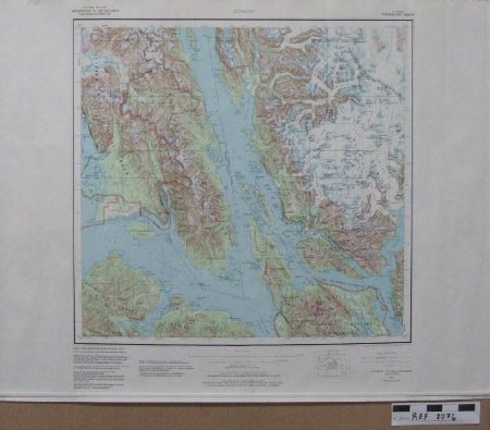
USGS map Juneau Alaska—Canada 1985
Pubication Date:
1985
Subjects:
Made in 1962 and revised in 1985, USGS map in color with Lynn Canal, Icy Strait, part of Glacier Bay, Gustavus, Excursion Inlet, western bornder of CBJ, northern tip of Chichagof and Admiralty Islands, Mansfield Peninsula, Taku Inlet, Juneau, Berner's Bay, Juneau Icefield, Southern top of Haines borough.
