Collection:
Juneau—Douglas City Museum
Object ID:
2003.25.001
Accession#:
2003.25
Credit Line:
Donated by Terry Brenner.
Object Name:
Map
Title:
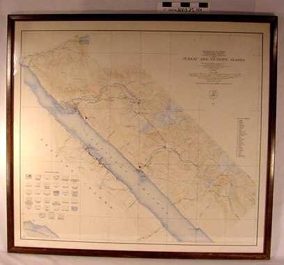
Framed Map 1918 Juneau and Vicinity USGS
Creator:
Brooks, Alfred H. & DC Witherspoon
Date:
1/1/1918
Scope & Content:
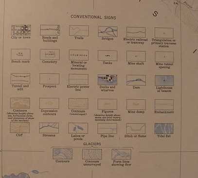
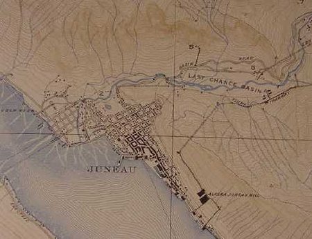
USGS framed map of "Juneau and Vicinity, Alaska" 1918 with Gastineau Channel diagonally across just below center, water marked with blue lines, land with brown lines and detailed legend of conventional signs in lower proper right corner. Narrow wooden frame. Map is mounted to thin sheet of cardboard.
Material: Paper/Ink/Adhesive/Wood
Material: Paper/Ink/Adhesive/Wood
Dates of Creation:
1/1/1918 0:00:00
Notes:
Found by donor at Joe McLean's son's garage sale around 1990.
Search Terms:
Map
Seascape
Landscape
City
Government
Seascape
Landscape
City
Government


