Collection:
Juneau—Douglas City Museum
Object ID:
2003.26.004
Accession#:
2003.26
Credit Line:
Transferred from the City and Borough of Juneau Engineering Department.
Object Name:
Map
Title:
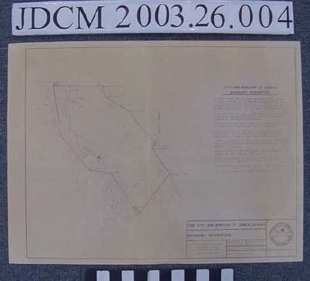
1976 CBJ Boundary Description Map
Creator:
CBJ Engineering Division
Date:
5/26/1976
Scope & Content:
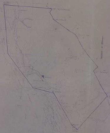
Map titled "City and Borough of Juneau Boundary Description" printed in purple ink like a ditto machine on yellowed paper. Legend in lower proper left corner, description above with coordinate points, map on proper right side of sheet. Boundary points include Eldred Rock, Mount Nesserrode, Mount Ogilvie, Devils Paw, Mount Fremont, Point Coke, Point Arden and Point Young. None of Admiralty Island included.
Material: Paper/Ink
Material: Paper/Ink
Dates of Creation:
5/26/1976 0:00:00
Notes:
Boundaries havenow changed in order to tax Green's Creek Mine on Admiralty Island. See doc file
Search Terms:
Map
Government
City
Government
City

