Collection:
Juneau—Douglas City Museum
Object ID:
2003.05.005
Accession#:
2003.05
Credit Line:
Donated by Mary Ann Parke.
Object Name:
Chart, Navigation
Title:
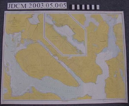
Gastineau Channel and Taku Inlet , Chart 8235
Creator:
U.S. Department of Commerce, Coast & Geodetic Survey
Date:
1960
Scope & Content:
Maritime navigation chart 8235 of Gastineau Channel and Taku Inlet area. Heavy gauge white paper. Yellow, green, blue with black and magenta writing, Inset of Juneau Harbor at scale 1:10,000. Title "United States / Alaska / Southeast Coast / Gastineau Channel / and Taku Inlet / Mercator Projecton / Scale 1:40,000 at Lat. 58 degrees 18'". "10th ED., Nov. 30 / 64 / 8235"
Material: Paper/Ink
Material: Paper/Ink
Dates of Creation:
1/1/1960
Notes:
See 2003.05.001
Search Terms:
Map
Fisheries
Recreation
Fishing
Transportation
Maritime
Boat
Communication
Fisheries
Recreation
Fishing
Transportation
Maritime
Boat
Communication
