Collection:
Juneau—Douglas City Museum
Object ID:
2003.05.006
Accession#:
2003.05
Credit Line:
Donated by Mary Ann Parke.
Object Name:
Chart, Navigation
Title:
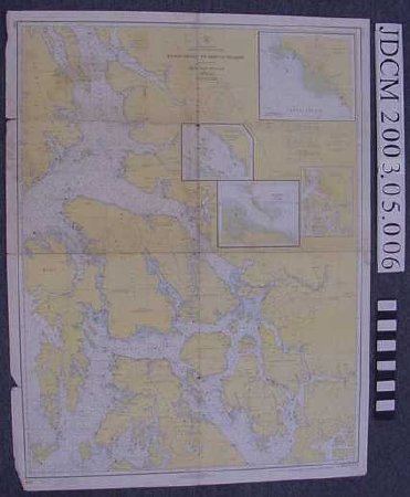
U.S.C. & G.S. Chart 8201 Etolin Island to Midway Islands, Including Sumner Strait
Creator:
U. S. Dpartment of Commerce, Coast & Geodetic Survey
Date:
1970
Scope & Content:
U.S.C. & G.S. marine chart 8201. White heavy paper with map printed in yellow, blue and green with black and magenta writing and symbols. Four insets of Kake, Portage Bay, Anchorage, Big Castle Island and chart index. Chart title "United States / Alaska — Southeast Coast / Etolin Island to Midway Islands / including / Sumner Strait / Mercator Projection / Scale 1:217, 828 at Lat 57 degrees" Dated at lower proper right corner "15th Ed., Nov. 15 / 69 (corr. Thru N.M. 46 / 69) / 820 / Price $1.50"
Material: Paper/Ink
Material: Paper/Ink
Dates of Creation:
1/1/1970
Notes:
See 2003.05.001
Handwritten notes are those of Thomas S. Parke, father of donor
Handwritten notes are those of Thomas S. Parke, father of donor
Search Terms:
Map
Fisheries
Recreation
Fishing
Transportation
Maritime
Boat
Communication
Fisheries
Recreation
Fishing
Transportation
Maritime
Boat
Communication
