Collection:
Juneau—Douglas City Museum
Object ID:
2006.11.035AB
Accession#:
2006.11
Credit Line:
Donated by the Caroline Jensen Estate.
Object Name:
Map
Title:
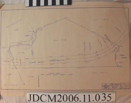
A surveyor map of the Pearl Harbor/Jensen property
Creator:
J.W. Bean Professional Surveyor
Scope & Content:
A surveyed map of the Jensen property at Pearl Harbor which includes three seperate lots bordered by Peterson Creek to the left, Glacier Highway near the bottom and Pearl Harbor to the right. The cardinal direction of north is in the top left hand corner and points towards the left side of the map indicating that this property is not horizontal, but in reality is actually quite vertical.
People:
Jensen, Caroline
Search Terms:
map
