Collection:
Juneau—Douglas City Museum
Object ID:
2006.11.232
Accession#:
2006.11
Credit Line:
Donated by the Caroline Jensen Estate.
Object Name:
Map
Title:
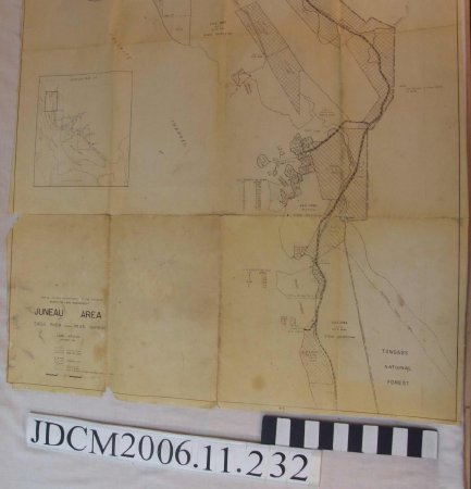
United States Department of the Interior, Bureau of Land Management, Juneau Area
Date:
September 1962
Scope & Content:
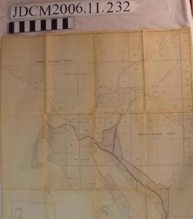
Large map, 54.5 inches long, 33.75 inches wide.
Folded into 16 sections. The paper is worn and ripping in places along the fold lines and the edge.
The labels are in the bottom proper right corner: "United States Department of the Interior, Juneau Area, Eagle River ——— Pearl Harbor, Land Status, September 1962" followed by the map legend.
The map is drawn in black ink. Of the larger labels: "Tongass National Forest" along the top edge, "Tongass National Forest" on the proper left near the top, "Tongass National Forest" on bottom proper left. "Favorite Channel" is written diagonally near the proper right bottom.
Dates of Creation:
September 1962

