Collection:
Juneau—Douglas City Museum
Object ID:
2003.26.002
Accession#:
2003.26
Credit Line:
Transferred from the City and Borough of Juneau Engineering Department.
Object Name:
Map
Title:
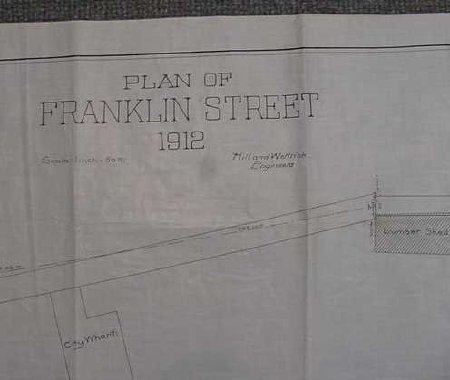
1912 Plat Map of Franklin Street on "Tracing Cloth"
Creator:
Hill & Wittrick, Engineers
Date:
1/1/1912
Scope & Content:
Long narrow "Plan of Franklin Street 1912 Hill and Wettrick, Engineers" showing South Franklin Street with exact measurements and including City Wharf and Lumber Shed. "Plat of Franklin St" written on back twice, various numbered codes in both pencil and ink on reverse.
Material: Textile/Ink/Plant
Material: Textile/Ink/Plant
Dates of Creation:
1/1/1912 0:00:00
Notes:
Tracing cloth, also called "linen" is typically a heavily starched & stiffly colendared cotton. This might acturally be linen. Lumber shed corresponds to current location of restaurant called "Twisted Fish" & Taku Smokeries. City Wharf is where the Cruise Ship Terminal is now located.
Search Terms:
Map
Plat
Road
Transportation
Plat
Road
Transportation

